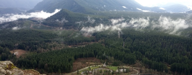
Weight: 18# backpack (forgot water)
Elevation gain: 800 feet based on conservative reading of figures for Map My Hike.
Accumulation elevation gain for 2016: 15.894 feet.
Accumulated distance hiked: 141.13 km
Food consumed: 1 Pink Lady Apple; 4 mini candy bars some cheese.
Notes: This was a Snoqualmie Valley Trails Club sanctioned hike. As I geared up, realized I had left my platypus cooling in the fridge. Harumi, the guide, gave me a water bottle. When our group reached Coal Creek Falls, I wanted to shoot a photo and discovered I had left my phone on my car dashboard and failed to lock car. I excused myself from the group, retraced my steps to the car and called hike leader Harumi (at her request) to tell her my phone hadn't been filched. Then I went off on my own, misreading the sign below:
 |
I thought the arrow for Sky Country Trail applied to Cave Hole Trail.
|
 |
Coal Creek Falls
|
My misreading of the sign left me hiking Military Road Trail westward (kinda) until I came out to a highway, Golf Club Road, which I crossed to reach the Red Town Trail. I backtracked, found Cave Hole Trail, and followed it, taking a side jaunt to the Red Town Dam site, then, later, another side trip back to Coal Creek Falls before returning to my car. I misread the map several times, trying to figure out where I was, and didn't even notice the Coal Creek Falls Trail, which I thought had been left off the map.
I used Map My Hike to sort out what I had done and comparing that application's map to the map I printed prior to the hike.


