Distance: 9.28 km, car to car
Weight: 20# daypack, 20# vest
Weather: Sunny, not hot
Elevation gain:1,300 feet
Accumulation elevation gain for 2016: 21,694 feet.
Accumulated distance hiked: 173.77 km
Food consumed during hike: 3 mini candy bars, apple, some tuna salad
Food consumed during hike: 3 mini candy bars, apple, some tuna salad
Note: Hike Leader not seen; parking at 10 a.m. was impossible. But lady, there, Jane, retired airline employee, became hiking companion. Energy level not high. Because parking was bad, I drove down the road 1/2 mile and parked on the shoulder; that worked fine, and it was only a 10 minute walk back to the trailhead. "Accurate Altimeter" app was remarkably spot-on at the top: showed 1551 feet, and Washington Trails Assn lists it at 1550! I didn't take a fix at the trailhead for comparisons. Shot bearings at summit of haystack, and found it to be at 160 degrees; and at end of hike, shot bearing on Rattlesnake ledge, and got almost the same bearing. This suggests that Little Si wraps around Mount Si. Something to check against maps.
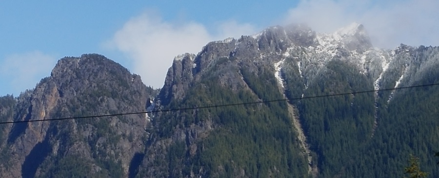 |
Photo taken from Dairy Freeze in North Bend. |
No comments:
Post a Comment